 vesseltracker.com
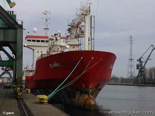
Vessel EL NINO IMO: 8800133, MMSI: 676008600 Refrigerated Cargo Ship
UTC, 37.45955, 122.23488, course: -1, speed: 0
UTC, 37.45951, 122.23487, course: -1, speed: 0
2026-02-10 13:58:50 UTC, 37.45953, 122.23488, course: -1, speed: 0
Live AIS position:
UTC. Near Weihai Pt),
updated 2026-02-10 13:58:50 UTC.
Find the position of the vessel EL NINO on the map. The latter are known coordinates and path.
marine traffic ship tracker show on live map
The current position of vessel EL NINO is 37.45953 lat / 122.23488 lng. Updated: 2026-02-10 13:58:50 UTCCurrently sailing under the flag of Congo (Democratic Republic)
EL NINO built in 1989 year
Deadweight:
3200 tDetails:
Last coordinates of the vessel:
UTC, 37.45954, 122.23488, course: -1, speed: 0UTC, 37.45955, 122.23488, course: -1, speed: 0
UTC, 37.45951, 122.23487, course: -1, speed: 0
2026-02-10 13:58:50 UTC, 37.45953, 122.23488, course: -1, speed: 0